DeutschEnglish
Wernhalde, Rote-Socken-Weg, © SMG Stuttgart Marketing GmbH - Sarah Schmid
1 of 1
1 of 1

Rote-Socken-Weg

This Way

in 1.3 Kilometer Start Route

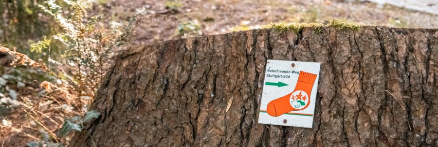
Come down here! All you have to do is walk up, always following the Red Socks Trail. The almost seven-kilometre-long hiking route complements the Heslacher Blaustrümpflerweg, takes you from Marienplatz through the Lehenviertel with its Wilhelminian-style houses and crosses the Wernhalde landscape park, where you can marvel at over 40 sequoia trees. The fantastic viewpoints at Santiago de Chile Square and the Schiller Oak make up for the steep climb. The panoramic route takes you downhill via Weißenburgpark, Bopseranlage, Markuskirche and the old cog railway station back to Marienplatz.
Show moreShow less

Location & Contact

Rote-Socken-Weg
Marienplatz
70178 Stuttgart

Places of interests nearby

Akademiebrunnen

in 584 Meter

Bassins mit Sprudler Quellgarten

in 1.5 Kilometer Cannstatter Straße 18, 70173 Stuttgart

Brunnen Fiedhof Botnang, Brunnen 08

in 4.0 Kilometer Bauernwaldstraße 78, 70195 Stuttgart

Brunnen Ostfilderfriedhof; Brunnen 05

in 4.9 Kilometer Kirchheimer Straße 125A, 70619 Stuttgart
People relaxing on a sunny city beach in Stuttgart. Sun loungers and parasols provide a cozy atmosphere on the sand., © Classic Rock Café Gastronomie- Betriebs GmbH

Stadtstrand Stuttgart

in 4.0 Kilometer Schönestraße, am Neckarufer gegenüber Wilhelma, 70372 Stuttgart

Brunnen Krefelderstr (StreicherAreal)Quellstein1

in 4.8 Kilometer Krefelder Straße 15, 70376 Stuttgart

Silcherbrunnen

in 6.5 Kilometer Zahn-Nopper-Straße 1, 70435 Stuttgart

Veitskapelle Stuttgart

in 8.7 Kilometer Meierberg 16, 70378 Stuttgart
1 of 8
1 of 8